
Sustainable Society FoundationThe interactive maps offer anyone the opportunity to see how her or his country is performing with respect to sustainability. One can make comparisons with other countries, see how the various regions are doing, and so much more. Look for yourself and experience the possibilities of playing with the data.
Go to the maps you wish to see by clicking below:
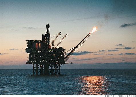
Peter on CNN
Submitted by glenshewchuck on
 Companies that are wondering about how to take their sustainability efforts to the next level may benefit from knowing that most leading sustainability companies -- particularly the larger ones -- progressed in several stages, and over a multi-year period.